Sunday, May 17, 2015

Mt. Shasta

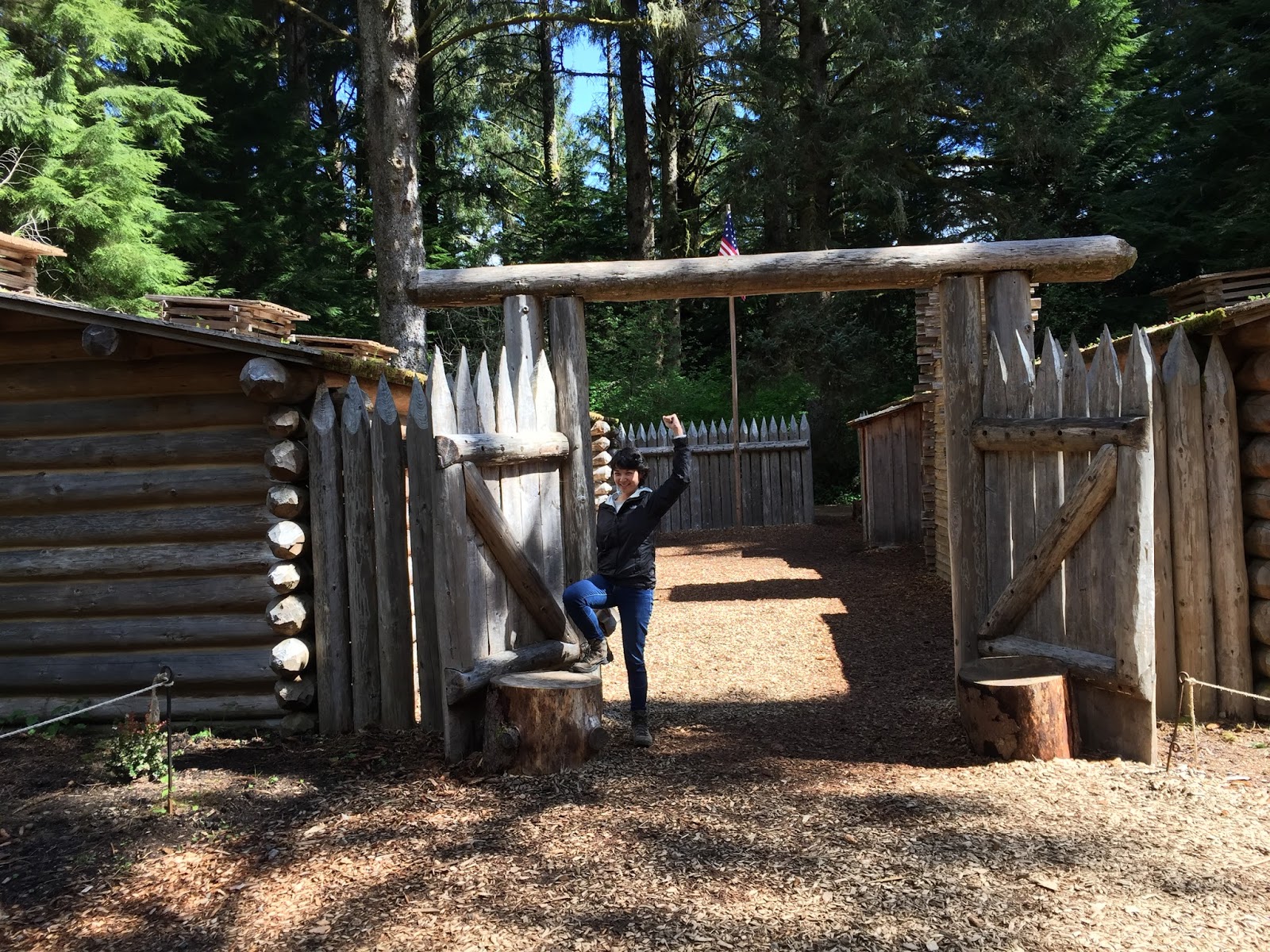
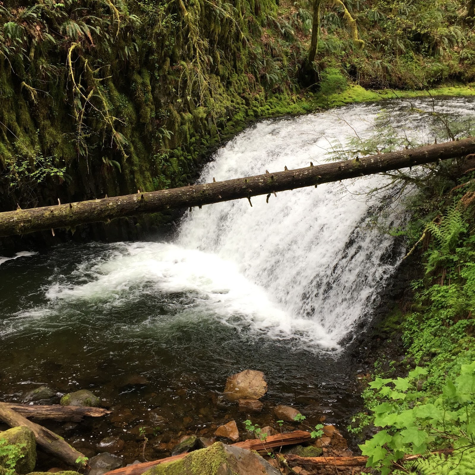
After our mini road trip to Oregon and Washington, I had planned to rest the weekend before my 2nd ablation procedure. However, Andrew had other ideas. He had reached out to the Send It Foundation to surprise me with a mountaineering trip to Mt. Shasta!


Since 2011, my body has been through lots of trauma. The most physically challenging moments were learning how to walk, once after my tumor removal, and another after my stay in the ICU. I was only in my twenties, and having to use a walker was a humbling (and frustrating) experience. I wanted to be normal like everyone else, and through sheer perseverance, I regained my strength and was able to do just that. 


For the most part, I've done a pretty good job of concealing my health issues to the outside world. The only physical limitations that I currently face are:
  • Lack of power in my left hamstring muscle. The primary tumor site was in my left hamstring muscle, and 2/3 of this muscle had to be removed. 
  • Limited lung capacity. The cancer metasized to my lungs, and sections of my lung were removed and ablated. 
Many of my fellow warriors have not been as fortunate as I have. Some experience extreme side effects as a result of their treatments or had to have limb salvage surgery, while others have passed away. As long as I am alive, I owe it to them, and to myself to always push my limits, and rise to the challenge. I do this by setting a yearly physical challenge for myself. To date, I have completed the following:
  • 2012- Alkali Flat Trail, White Sands National Monument (7 miles)
  • 2013- Half Dome, Yosemite National Park (16 miles; 4,800 ft. elevation gain)
  • 2014- Lassen Peak Trail, Lassen Volcanic National Park (5 miles; 2,000 ft. elevation gain)
Additionally, I want to change the negative stereotypes that cancer patients have. Usually when people find out I have cancer, many look at me and treat me differently; I’m no longer a strong woman, but rather a fragile baby. It's only when they hear stories of my physical feats that their perception of me changes. That's what I want my legacy to be, that of a warrior. 


Mt. Shasta Overview

Mt. Shasta is a stratovolcano located south of the Oregon-California border, and midway between the Nevada border and Pacific Ocean. The mountain rises to 14,179 feet, and has a base more than 17 miles in diameter. On a clear day, it can be seen 150 miles away. 


Mt. Shasta

It is the fifth highest peak in California, the second highest mountain in the Cascade Range, and the 46th highest mountain in the United States. Every time we've past this formidable mountain, it sends shivers up my spine. 


Scoping out the climbers.

Arrival

From San Francisco, we drove to Weed, a small city located outside of Mt. Shasta town. During the drive, I had mixed emotions; I was excited to be going on this adventure, but worried about what lay ahead. Over 15,000 summit attempts are made every year, but only a third are successful. Normally, climbers train for a few months before attempting to summit Mt. Shasta, and here I was, trying to do it with no formal training whatsoever. I couldn’t decide whether I was fearless or foolish. 

What am I getting myself into?

Early the next morning, we drove into Mt. Shasta town to The Fifth Season, and we were greeted by Katie Schou. She was there on behalf of the Send It Foundation, and Jamie Schou, my friend, and fallen warrior. This Mt. Shasta trip would be the first inauguration of the Send It Foundation, and I was honored to be carrying the torch of Jamie's legacy. 

With the help of our guide, Lauren Seymore, we rented most of our mountaineering equipment: showshoes and trekking poles, crampons and ice axe, gaiters, mountain helmet, sleeping bag and pad, and mountaineering tent. We had our final bag check, and headed up the mountain.


Example of the mountaineering equipment we rented. 

Route

The plan would be to ascend Mt. Shasta via the 7 mile long John Muir Route, commonly known as Avalanche Gulch. This route would be the easiest because it wouldn't involve anything more technical than general crampon use and self-arrest technique.


Day 1
Bunny Flat (6,880 ft.) to Horse Camp (7,800 ft.)

On the first day, we climbed from Bunny Flat to Horse Camp. At Horse Camp, there was a large stone cabin that could be used as an emergency shelter. Inside was information about the area, and a visitor’s register. 


The stone cabin was where all the cool climbers hung out.


Welcome!


The visitor log reads "Sending it for Jamie Schou!"

After the visit to the stone cabin, I had secretly hoped that we would be staying there for the night. In reality, Andrew and I would be camping outside. Usually, I wouldn't have any issue with it since we've camped in below freezing conditions before. However, this would be our first time in the snow.


Home Sweet Home. 

After setting up our tent, we had snow school training with Lauren; we learned the proper way to use crampons to traverse up the mountain, and how to self-arrest if we fell on a snow slope. All in all, it was a great day, or so I thought. 


On our way to snow school. 

Altitude Sickness & Freezing Temperatures

The first night was miserable since my body was acclimatizing to the high altitude. At higher altitudes, the availability of oxygen is decreased, and at our elevation of 8,000 feet, there was only 75% of oxygen available compared to San Francisco. As a result, I had a headache, and difficulty sleeping. 

In addition, camping in the snow was rough. No matter the amount of layers I wore, or what position I slept in, I just couldn’t get warm. That night was the coldest that I had ever felt in my entire life. 


Maybe sleeping like a mummy will keep me warm?

Day 2
Horse Camp (7,880 ft.) to 50/50 Flat (9,400 ft.)

On the second day, the ascent was much steeper, and I had a tough time keeping up with Lauren and Andrew. I hadn’t slept well the night before, my legs were exhausted from the constant uphill climb, and I had difficulty breathing. 

When will this end?

I was frustrated with myself because even though I pushed myself hard, it was obvious that I was the weakest of the group, and that I was holding everyone back. There were several times where I wasn’t sure that I was physically capable of going on further, and I thought of giving up, but I couldn't let the Send It Foundation and everyone else down. In any case, I continued on until I reached 50/50 Flat. 


Almost there. 

Because Mt. Shasta towers over neighboring mountains, it tends to draw incoming weather systems to it, and create its own weather. At 50/50 Flat, we definitely saw this; lenticular clouds covered the entire mountain, and for a while there was zero visibility. It was a bit eerie, but the moments when the clouds cleared, the view was spectacular. 


It was such a relief to finally sit down.

Day 3
50/50 Flat (9,400 ft.) to Summit (14,179)

At 9,400 ft. elevation, there was only 70% of oxygen available. Despite this, I slept much better than the night before. At 12:30AM, we left 50/50 Flat, and began our ascent. By this time, the clouds had disappeared, and we saw the beautiful moon and stars.

Helen Lake

Unfortunately, weather conditions changed quickly. As we got higher, and closer to Helen Lake, it began to sleet. Sleet is a form of precipitation that falls as ice pellets, often mixed with rain or snow. This happens when the frozen precipitation enters through a warm layer and melts, and then proceeds through a colder layer and refreezes. The ice pellets didn't hurt at all; it just bounced off our clothes. It was the zero visibility that had me worried.


In any case, we made it through safely, and reached our next checkpoint, Helen Lake at 2AM. Helen Lake is not an actual lake, but a large snowfield used primarily as a camping area. Even though it was still dark out, the site was lit, and I could see people packing up to get an early start up the mountain as well. 

Red Banks

From Helen Lake, we headed up the Red Banks; the steepest and most strenuous part of the climb. By this point, our pace has slowed significantly because I couldn’t keep up. The snow was no longer compact; it was powder, and every time I took a step, the snow would fall out from under me. As a result, I had to exert additional energy to lift my foot from out of the snow. I tried hard to dig my crampons into the snow to get stable footing, but it was no use. I was too exhausted. 


The dreaded Red Banks.

To make matters worse, at 12,000 feet elevation, there was only 65% oxygen available. We were going too high too fast for my body causing my altitude sickness to worsen. I felt dizzy and faint, and it was difficult to walk straight. The last thing I wanted was to lose consciousness and fall off the mountain, and drag everyone down with me, so we stopped more often so that I could rest, even though it put us significantly behind schedule. 

The “Summit”

After seven grueling hours, we eventually we reached the top of the Red Banks at 8:45AM. We were close to the summit; there was only 1,000 feet elevation to go. To my shock, Lauren said that this would be the highest that we would go.

View from the top of the Red Banks.

No matter how much I pleaded, it was no use. We had already been climbing for over eight hours, and at the pace we were going, it would take another four hours to summit. We also had to allot time to descend the mountain. Theoretically, that would have put us at a total of 22 hours of climbing.

There’s a limit to how much the body can take, and with my altitude sickness and exhuastion, it was only a matter of time before mine would give out. If we continued on, I would be endangering my life, and everyone else's as well. To my bitter disappointment, we stopped at 13,200 ft.

The look of defeat.

It was very emotional for me. I felt as though I had let the Send It Foundation, and everyone else down. I gave it everything I had, and it still wasn’t good enough. If there was ever a time where I felt like a complete failure, it was at this moment. 

Having Andrew by my side made all the difference. He reminded me that we came to Mt. Shasta to test ourselves, and to push our limits. There was no shame because we pushed beyond what we thought we could do, and we still achieved a great result, despite not reaching our stretch goal. We were flying above the clouds, and the world was at our feet. 


Andrew giving me a boost of confidence.


Our amazing guide, Lauren Seymore.

Wow!

The Descend

As we descended down the mountain, my legs started to give way. Luckily, we found several well-defined glissade paths. We removed our crampons, sat down on our buttocks, and grasped the ice axe with one hand on the head, and the shaft with the other, and began our rapid descent down the slope. It was such a thrilling experience. After we spent seven hours climbing from Helen Lake to Red Banks, it only took us 45 minutes to descend!

Glissading 101.

Andrew glissading like a pro.

Made it to the bottom in one piece. 

During the entire weekend, we never saw any signs of wildlife. As we walked back to the Bunny Flat trail head, we were surprised to hear the mountain chickadee sing its song. These birds are known colloquially as cheeseburger birds because their call sounds like "cheese-bur-ger." It's also the sound of Tahoe. I couldn't help think that it was a sign that Jamie was watching over me. 

Thank You

This journey was truly life changing. Four years ago, I couldn’t even walk. Never in my wildest dream did I think I would be physically strong enough to even attempt a fourteener. Climbing Mt. Shasta was a reflection of how my life has been since being diagnosed with cancer; it has been a constant battle of digging deep within myself to push forward towards the impossible.

Thank you Send It Foundation, and The Fifth Season for this incredible experience!

Thursday, April 30, 2015

Oregon, Washington

As the old saying goes, "Time flies when you're having fun." My two months were up, and it was time for another CT scan to see if there were any new nodules, and whether the previous 4mm nodule had grown. Below are the findings:
  1. Postsurgical changes related to prior lower lobe wedge resections, and radiofrequency ablation of the right lower lobe, with an evolving right lower lobe nodule slightly decreased in size and now more collapsed in the craniocaudal plane. 
  2. Interval increase in size of a nodule in the superior right lower lobe and the gastroesophageal recess now measuring 9 mm compared to 4 mm previously, concerning for progressive metastatic disease. No new nodules are identified.
Essentially, it was both good news and bad news. The good news was that there were no new nodules. The bad news was that the previous 4 mm nodule had grown to 9 mm. I met with my interventional radiologist, and we discussed next steps. 


The plan would be to undergo the same microwave ablation procedure as before. However, the position of the nodule was very challenging since it was in very close proximity to the esophagus. In order to prevent damage to the esophagus during the ablation procedure, a temperature probe would be inserted to monitor the temperature of the area. In addition, the maximum amount of power would not be used, making it highly likely that the nodule would have to be ablated in multiple sessions. 


It was a lot of information to take in. In any case, I scheduled my appointment for the procedure, and I decided to go on one more adventure before the big day.  

Andrew and I continued with our exploration up the Pacific Northwest to Oregon and Washington. One of the things I enjoyed was learning more about the Lewis and Clark and the Corps of Discovery Expedition, and their 4,000 mile trek across the newly acquired Louisiana Territory. Even though the team set off with two tons of supplies and equipment, they only survived because of the help of the Native American Indians. 


This gave me pause for thought. Like the Lewis and Clark Expedition, perhaps what I have may not be what I need. In a world of excessive consumerism, it's easy to get caught up in immediate gratification and material possessions. Although my collection of stuff may promise me happiness, I know that ultimately it'll never deliver. It was good reminder to focus on what really fills my heart with happiness; my relationships and experiences. 

Enjoy my adventures in California, and mini road trip to Oregon, and Washington!


Cycle For Survival
Palo Alto, CA

Cycle for Survival is a national indoor team cycling event that funds rare cancer research at Memorial Sloan Kettering Cancer Center (MSK). MSK is one the world's premier cancer research institutions, and the the work conducted there benefits patients around the world.

Funding for rare cancer research is critical. Approximately 50% of people with cancer are fighting a rare cancer. These diseases include all pediatric cancers, leukemia, lymphoma, thyroid, ovarian, pancreatic cancers, among many others. 


Our Dobrowlercoaster Team raised a total of $47,200!


100% of donation funds went directly to pioneering rare cancer research at MSK within six months of the event.


Thank you to the tremendous efforts of our all our donors, and supporters!
Special shout out to Linda Jordan, Anh Nguyen, Joe Bwite, Amy Branson, Da-Thao Tran, Kevin Lau, Y-Lan Tran, Andrew Koller, Kimvan Tran, Kim Nguyen, Phong Nguyen, Uncle & Aunt 4, Uncle & Aunt 7, and Tuan Thai.

Big Basin Redwoods State Park
Boulder Creek, CA


Big Basin Redwoods State Park is California’s oldest state park, covering more
than 18,000 acres from sea level to more than 2,000 feet elevation.


The biggest attraction are the ancient coast redwoods. Some measure close to 300 ft. tall, and scientists estimate that these trees may range from 1,000 to 2,000 years old.


The fragile ecosystem supports a variety of life.


Banana slugs feed on organic matter, plants, and mushrooms on the forest floors.


Newts, lizards, and frogs are bountiful in the coast's damp, moist climate.


False turkey tail fungus.


Big Basin Redwoods State Park has over 80 miles of roads and trails. 


Watch out for the falling trees blocking the trails.

Ocean View Summit Hike
(4.5 miles; 3 hours; 700 ft. elevation gain)


We reached the top!


Where's the ocean?


I'm so lucky to have such wonderful men in my life.

Museum of Craft and Design
San Francisco, CA

To celebrate the American Institute of Graphic Arts Centennial in 2014, designers from across the U.S. were asked to select one year from the 10 decades of its history and make a social, political, or cultural statement about that year. 

Chris Eckert, John Green & Martin Fox. Babel. 2015. Polychromed metal, microelectronics.
Babel is an installation of twenty small writing machines. 

The machines are mechanically identical, but each has been programmed to write in a specific language with sentences culled from the internet.

Scribe is a large machine that repeatedly copies the Gospel of Mark onto a 24 inch wide scroll. 

The text is written using two calligraphic pens: one black and the other red. As a person appraches the sculpture, the machine becomes "distracted", making textual errors as it copies. 

Chris Eckert. Gimme. 2010. Polychromed metal, microelectronics.
Gimme is an automated panhandler that follows a view (or multiple viewers) around the room while relentlessly requesting donations. 

David Celento. Digital Islam. 2009. Slip-cast stoneware modules, glazes, gold lustre. 
Digital Islam is inspired by Penrose tiling found in Islamic architecture. 

Machinic and Future Cities Lab. Air Pod Tile Prototypes. 2015. 3D printed ceramic modules.
These ceramic prototypes explore the intersections of mass-production and mass-customization through 3D printing. 

Can technology be a means of expression,  and not the reason for expression?

Fort Vancouver National Historic Site
Vancouver, WA

The Hudson's Bay Company's (HBC) Fort Vancouver was dedicated on March 19, 1825. It's located close to the Columbia River, and was once a British headquarter and primary supply depot for fur trade, commercial, and agricultural enterprises in the West. 

Even though it was a British establishment, the fort made American settlement in the Pacific Northwest possible. At its peak in 1844, the fort was 325 ft. by 732 ft. and housed and supported thousands of soldiers and their families. 

Chief Factor's Residence

The Big House was the center of economic, social, and political activity. Here, the fort's highest ranking gentlemen shared news, entertained guests, enacted policies, discussed strategies, and made agreements affecting lands, resources, and people west of the Rockies. 

Blacksmith Shop

The blacksmith shop served as the fort's principal smithy. Blacksmiths made items of iron and steel needed for the fur trade, and hardware for construction at the fort and other Hudson's Bay Company posts in the Columbia District. 

It was riveting watching the blacksmith laboring at a forge. 

Jail

Individuals who committed mostly minor crimes, such as petty theft, were confined here. Punishment for violators included jail, fines, deportation, or even flogging. 

Rescue me!

Counting House


For its first 18 months this building was quarters for Captain Thomas Baillie of the British navel vessel HMS Modeste anchored at Fort Vancouver. After he left, the building became the administrative center where clerks kept records of incoming and outgoing goods, employee pay and expenditures, and completed annual reports.

Carpenter Shop

Three to four carpenters and several apprentices were employed at the fort to construct buildings. In addition, they produced window frames and sashes, doors, furniture, carts and wagons, and wooden parts for tools.

The Bastion


In 1845, the bastion was built to protect the fort against threats and to fire salutes to arriving ships. 

It was three stories high, and the top floor held eight three-pounder cannons. 

Fur Warehouse

The multitude of animal pelts were brought to the fort, and were kept in warehouses. 


The furs were clean and pressed into bales before being transported to England. 


Over 61,000 animal pelts were shipped annually. 

Pearson Air Museum
Vancouver, WA


While Vancouver Barracks were growing in size and importance, its airfield was beginning its tenure as one of the nation's oldest operating fields. 

Many antique and replica vehicles were loaned by partners and members of the community. 

Pietenpol Air Camper
In 1928, Bernard Pietenpol of Cherry Grove, Minnesota designed the Pietenpol Air Camper as a simple parasol wing homebuilt aircraft. 

Pratt & Whitney R-985 "Wasp Junior"
The R-985 "Wasp Junior" was developed in 1929 by Pratt & Whitney Aircraft Company of Hartford, Connecticut. It was one of the company's first successful designs, and over 39,000 were built over the next 20 years. 

During WWI, the logging industry in the Northwest was remade into a military operation called the Spruce Production Division, extracting enormous amounts of lumber for biplane manufacture. It was the world's largest spruce mill, producing one million board feet per day. 

Based on the personality test, I would have been assigned to the Engineering Production Division. 

Lan Su Chinese Garden
Portland, OR


Enter if you dare.


Lan Su was completed in 2000, and is considered the most authentic Suzhou-style Chinese garden outside of China. 


The rockery is designed to appear as rugged mountains in the distance, complete with waterfalls, and cascading streams. The poetic inscription on the rock mountain translates to "Ten thousand ravines engulfed in deep clouds."


The garden features more than 300 plant species and cultivars found in traditional Chinese gardens.


Besties.


The teahouse promotes the social art and culture of tea. It was really neat to learn all the different type of teas, and the correct way to prepare and drink tea in China.

We decided on the Strong Fire Oolong (Tieguanyin). The leaves are grown at an altitude of 3600 ft. in central Taiwan, and are rolled in at least 13 different traditional motions. It had a heavy texture, bitter-sweet chocolate taste.


The Scholar's Study was where men in the family prepared for grueling examinations. Success would allow them to serve in government, a highly desired career.


Andrew is done with studying for today. Are you ready for your exam?


Pretty.


The boat-shaped pavilion is meant to give the feeling of being anchored on the shore and rocked gently by small waves. It also represents the friendship and exchange between Suzhou and Portland that created this beautiful garden. 

International Rose Test Garden
Portland, OR


The International Rose Test Garden has over 7,000 rose plants of approximately 550 varieties.


Roses bloom from April through October. We were a month early.


Luckily, there were still lots of beautiful flowers.

Since 1912, the Royal Rosarians serve as the Official Greeters and Ambassadors of Goodwill for the City of Portland, and tip their hats to salute visitors. 

Lewis and Clark National Historical Park 
Astoria, OR

Stanley Wanlass. Arrival. 
This sculpture commemorates the 175th anniversary of the Lewis and Clark Expedition. 

The park consists of 12 individual areas that mark the success of key parts of the Corps of Discovery's mission.


Fort Clatsop was built on the banks of the Netul River (now the Lewis and Clark River). This was the winter encampment for the Corps of Discovery from December 1805 to March 1806. 


During that time, Clatsop and Chinook Indians came to the fort almost daily to visit and trade. The captains wrote often in their journals of these tribes' appearance, habits, living conditions, lodges, and abilities as hunters and fishermen. 


Throughout the winter, Lewis and Clark maintained a strict military routine. A sentinel was constantly posted, and at sundown each day the fort was cleared of visitors and the gates locked for the night.


It rained almost everyday, and as a result, the men suffered from colds, influenza, rheumatism, and other ailments. Clothing rotted, and fleas infested the blankets and hides of the bedding to such a degree that a full night's sleep was often impossible. 


The Neutal River Trail follows the river from Fort Clatsop to Neutal Landing. The landing features a canoe launch that is part of the Lower Columbia River Water Trail.

These dugout canoes are made of pine, and were constructed by burning out the canoes, and using axes to remove the charred wood from the inside.


Andrew is so brainy. He won the National Parks Trivia Quiz, and gave me his winnings; a NPS temporary tattoo.

Fort Stevens State Park
Hammond, OR

Fort Stevens was once the primary military defense installation in the three-fort, Harbor Defense System at the mouth of the Columbia River (along with Forts Canby and Columbia in Washington). The fort saw service during the Civil War to WWII.


Today, Fort Stevens has grown into a 4,300 acre park offering exploration of history, nature, and many recreational opportunities.


The beautiful Oregon shoreline. 


South Jetty
Newport, OR


The Columbia River Bar is where the Pacific Ocean and Columbia River meet. As the river water surges toward the ocean, it slows down, dropping sand and silt to form a fan-shaped sandbar that extends more than six miles into the ocean. 


Since 1792, approximately 2,000 ships have sunk in this area, earning it the name "Graveyard of the Pacific." As a result, jetties were built to regulate the current of the Columbia River. 

Astoria Column
Astoria, OR

The 125 ft. tall Astoria column was built in 1926 by the Great Northern Railway and Vincent Astor. The mural shows 14 significant events in the early history of Oregon including the discovery of the Columbia River and the Lewis and Clark Expedition.

 Finally made it up the 164 step spiral staircase to the observation deck.


View of the mouth of the Columbia River.

Cape Disappointment Lighthouse
Ilwaco, WA

The lighthouse was first lit on October 15, 1856, and watches over the entrance of the Columbia River. It stands 53 ft. tall, and was equipped with First a Order Fresnel Lens, and a 1,600 lb. fog bell powered by a striking mechanism. 

North Head Lighthouse
Ilwaco, WA

Lighthouse keepers maintained the North Head Lighthouse from 1898 until its automation in 1961.
The lighthouse burned 365 days a year, and consumed over 2,000 gallons of oil annually.

Historic Columbia River Highway
(70 miles; 3-5 hrs. driving)
Corbett, OR

The Cascade Range formed 35 million years ago as plates of the earth's crust collided. During the Ice Age, melting ice dams released massive floods that scoured this canyon, creating the greatest concentration of high waterfalls in North America. 


Construction of the Historic Columbia River Highway began in 1913, and was considered one of the greatest engineering feats of the modern age. It showcased the many waterfalls and other beauty spots on the highway's route through the Columbia Gorge.

Vista House
Corbett, OR


The Vista House was built in 1918 as a memorial honoring Oregon's pioneers, and as a rest stop for travelers on the Columbia River Highway. 

This Oregon treasure is the most photographed and recognized in the Columbia River Gorge. 

Latourell Falls 
(Height 249 ft.)
Corbett, OR

Many generous landowners donated property to Oregon to preserve the beauty of the Gorge for future generations. In 1928, Guy and Geraldine Talbot donated the land surrounding Latourell Falls. This waterfall is unique since it drops straight down from an overhanging basalt cliff. 

Shepperd's Dell
(Height 220 ft.)
Corbett, OR


The land was donated in 1915 by dairy local farmer George Shepperd as a memorial to his wife. The Historic Columbia River Highway runs over the dell, and is arguably better known than the dell itself. 

Upper falls. 

Lower falls. 

Bridal Veil Falls
(Height 100 ft.)
Corbett, OR

Bridal Veil Falls consist of two cascades in quick succession along angling rock faces, making the falls appear like its namesake. This falls was one of my favorites, and its intensity left me speechless.

Wahkeena Falls 
(Height 242 ft.)
Cascade Locks, OR

Wahkeena Falls is an English transliteration of a Native American phrase meaning most beautiful. It has a subtle cascade flow, and does not directly plunge into the ground like its neighbor, Multnomah Falls. 

Multnomah Falls 
(Height 620 ft.)
Multnomah County, OR

Multnomah Falls drops in two major steps, and splits into an upper falls (524 ft.) and lower falls (69 ft). With a total height of 620 ft. it's the tallest waterfall in Oregon, and the second tallest year-round waterfall in the United States.

Benson Footbridge is a 45 ft. footbridge that allows visitors to cross between the upper and lower cascade. The original bridge was built in the early 1880s out of log poles, and after its collapse, it was rebuilt in 1914. 

Heading up the foot trail to the upper falls. 

Almost there. 

Those switchbacks were well worth it. 

Don't let Little Multnomah deceive you. This small cascade plunges off the steep basalt cliffs. 

Bird's eye view of the Columbia Gorge. 

Wisendanger Falls
(Height 55 ft.)

Wiesendanger Falls is the first of the two major upper waterfalls along Multnomah Creek. 

Lots of delicious water. 

Downstream from the falls lies Dutchman's Tunnel, a precarious overhang of basalt. A plaque is placed on the wall of the gorge to commemorate its namesake. 

Gorgeous.

Horsetail Falls
(Height 176 ft.)
Multnomah County, OR

Horsetail Falls is named for its single horsetail formation and the rounded rock face over which it flows.

Bonneville Dam
Cascade Locks, OR


Bonneville Dam construction began in 1933, and was dedicated by FDR in 1937. This architectural marvel cost $88.5 million to build, and at its time, it was the largest single-lift lock in the world with a 60 ft. vertical lift.

The dam provides dependable water supply, prevents floods, and power homes. In addition, the locks enable commericial navigation from Oregon to Idaho; 465 miles from the Pacific Ocean. 

Systems of dams in the Columbia River Basin is widely believed to be a major factor in the decline in numbers of wild salmon stocks. Bonneville Dam was one of the first dams to incorporate fish ladders, enabling mature salmon traveling upstream to swim around the 60 ft. high dam. 

Fish counters record the various species of adult fish moving up the fish ladder. This vital information helps biologists and engineers track increases and decreases in fish runs.  

Fish counting began at Bonneville Dam in 1938. Numbers of returning adult salmon have varied each year; the lowest was in 1944 when less than 400,000 were counted, and the highest was from 1985 to 1986, with total runs at one million fish!

One Fish, Two Fish, Red Fish, Blue Fish. 

Eagle Creek
(6.4 miles; 840 ft. elevation gain)
Portland, OR

Eagle Creek was created in the early 1900s as part of an effort to begin preserving parkland areas in the Columbia River Gorge where industry was rapidly encroaching. In some sections, workers used dynamite to blast the trail into the side of the cliffs. 

It is considered to be one of the most magnificent hiking destinations in the Northwest. The hike in Columbia River Gorge boasts dozens of waterfalls, tall basalt cliffs, and lush temperate forests. 

Lower Punchbowl Falls
(Height 35 ft.)

Eagle Creek cuts through a narrow channel and enters powerfully into a bowl shaped pool, as evidenced by its name, Punchbowl Falls. 

Punchbowl Falls is responsible for the waterfall classification type of punchbowl.

Upper Punchbowl Falls

Despite the chilly water, this area is a favorite swimming hole for locals.

We see you Eagle Creek. 

Loowit Falls
(Height 90 ft)

Loowit Creek cascades into a small pool, then slides over a rock, and finally into Eagle Creek.

Don't go chasing waterfalls. Please stick to the rivers and the lakes that you're used to. 

High Bridge

Be careful, the trail leading up to High Bridge is rocky and can be slippery in places.

The bridge rises 120 ft. above the narrow moss lined canyon.

High Bridge is one of only two places where the Eagle Creek Trail crosses Eagle Creek.

This section of the creek is the narrowest and fastest running section of the creek.

Who wants to go tubing?

Bridge of the Gods
Cascade Locks, OR

The Bridge of the Gods is a cantilever bridge that serves as the link for the Pacific Crest Trail from Oregon and Washington. The bridge is 1,856 ft. long, and 140 ft. above the water. 

The Bridge of the Gods is named after a Native American legend of a natural dam created by the Bonneville Slide, a major landslide that dammed the Columbia River near present-day Cascade Locks, Oregon. 

The bridge can be crossed on foot for $0.50

The oncoming cars were scarier than the height of the bridge. 

From the Washington side of the bridge, it's roughly 500 miles to the Canadian Border. 

Timberline Lodge
Mt. Hood, OR

Timberline Lodge was built in 1936, and attracts more than two million visitors annually. In addition to being a mountain retreat, it's famous for serving as the exterior of the Overlook Hotel in the 1980 horror movie, The Shining.

The lodge sits at an elevation of 5,960 ft, and is accessible through the Mount Hood Scenic Byway.

Workers used large timbers and local stone, and placed intricately carved decorative elements throughout the building. 

Thomas Laman. Spring on the Mountain. 1938-1940. Glass mosaic. 
Many of the art works and furnishings exemplifies the best art in the U.S during the 1930s. 


Timberline Lodge offers the longest skiing season in America. It boasts the Pacific Northwest’s longest vertical drop at 3,690 feet from the top of Palmer Express to the bottom of Still Creek Basin.

"Here's Johnny!"