
Take your pick tastebuds!
Not too long afterwards, Andrew’s brother, Josh, and his wife, Megan flew over from Nashville, Tennessee to visit us. The last time I saw them was in 2010 while Andrew and I were doing a road trip from Texas to Tennessee. This was Josh and Megan's first time in California, so we wanted to make it a memorable experience for them. We planned a jam-packed itinerary that included the highlights of San Francisco, and doing a weekend road trip to visit Sequoia and Kings Canyon National Park, and Yosemite National Park. Enjoy!

Sequoia National Park
Tulare County, CA
General Sherman Tree
(0.5 miles)
(0.5 miles)

Welcome to our Sequoia National Park Tour Group!

Study of sequoia tree rings allow scientists to get vital information about droughts, fires, and events almost 3,000 years ago.

It's a bird! It's a plane! It's a sequoia!

The General Sherman Tree was named after the American Civil War general William Tecumseh Sherman. With an estimated bole volume of 1,487 cubic meter, it's the largest living tree in the world (by volume).

General Sherman Tree Stats


Chemicals in the wood, called tannins, resist insects and rot. The same traits that enabled the tree to survive for so long now enable this fallen log to linger after death.

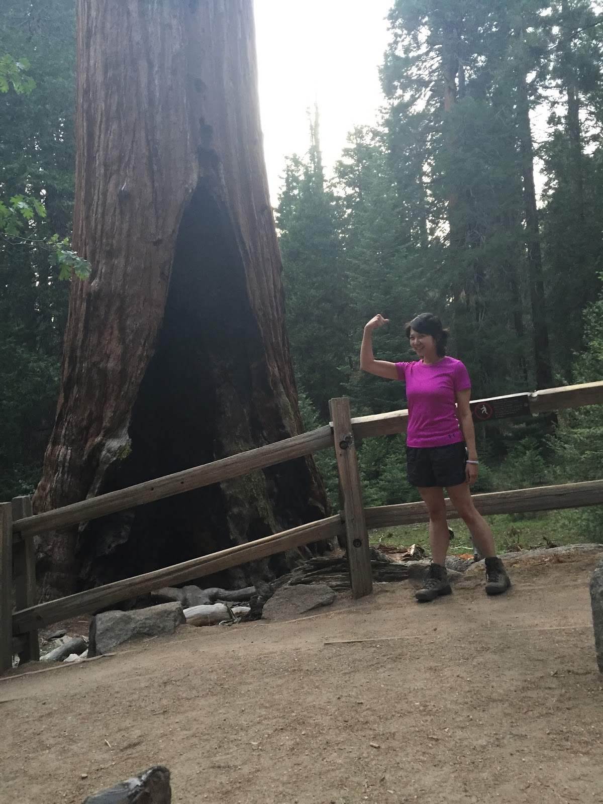
Pump it up!
Congress Trail
(2 miles)
(2 miles)

Congress Trail honors all the National Parks that were created by Congress on August 25, 1916.

The trail is completely paved, and is an easy to follow loop through the heart of one of the world's greatest forests.

Follow the leader.

At the south end of the loop there are two groups of sequoias, the House and Senate Group.

Who is that peeking in the background?

If you only have time to take one hike, don't miss out on the Congress Trail.
Kings Canyon National Park
Fresno County & Tulare County, CA

In 1940, Congress and President Franklin D. Roosevelt created a new national park to include the glacially-formed splendor of Kings Canyon.

Gorgeous.
Grizzly Falls

Grizzly Falls is a 75 foot waterfall. The waterfall size varies throughout the year based on the amount of snowmelt on the south side of the Monarch Divide.

During the summer, the falls are narrowed into a thin, singular drop exposing much of the bare rock wall that would normally support Grizzly Creek.

Cooling off in the mist.
Grant Tree Trail
(0.3 miles)
(0.3 miles)

General Grant Tree is the only living thing designated by Congress as a national shrine. It's a living memorial to the men and women of the United States who have given their lives in service to their country.
The Giant Sequoia species has five major requirements for continued survival: sunlight, soil, water, air, and fire.

The General Grant Tree was named after the leader of the Union forces during the Civil War. It’s the world’s third largest tree and has the greatest base diameter of a sequoia at 40.3 feet.

Troop F, 6h Cavalry on Fallen Monarch, Mariposa Grove.
Photographs of the Fallen Monarch date back to the late 1800's.

Even though the Fallen Monarch toppled centuries ago, the log has decayed very little, and remnants of the major roots at the base can still be seen today.

What a good looking couple.

See you soon!
Yosemite National Park
Glacier Point

Glacier Point offers spectacular views of Yosemite Valley, Half Dome, and Vernal and Nevada Falls as well as a panorama of the High Sierra.

Beautiful backdrop of Vernal and Nevada Falls.

The creation of Vernal and Nevada Falls happened when two major fractures developed in the solid granite walls, and the downhill sides were carved away by glaciers.

Along the trail, you can visit the geology hut exhibit on glaciation and landforms and other interpretive exhibits pointing out Half Dome, waterfalls, and views of the High Sierra.

The gents.

The gals.

The crew.
Lower Yosemite Falls
(1.1 mile; 30 minutes)

The waterfalls and monoliths of Yosemite Valley have inspired poets, painters, photographers, and millions of visitors for more than 100 years.

Strolling through the park.

At 2,425 feet, Yosemite Falls are the tallest waterfalls in North America.

As snow melts in late spring, the flow rate of Yosemite Falls (and noise level) may be 20 times greater than it is in autumn. In winter, spray from Upper Yosemite Fall freezes and forms great sheets of ice against the cliff wall.

Smile!

Melting snow above the falls is the primary source for Yosemite Creek.

The weather in Yosemite Valley differs from other places in the Sierra Nevada with similar elevations; summers are warmer and winters are colder.

Ok, let's go!
Tuolumne Meadows

Tuolumne Meadows is the largest subalpine meadow in the Sierra, and was a collecting basin for glaciers. It's located 55 miles (1 1/2 hr drive) from Yosemite Valley at an elevation of 8,600 feet.

Beautiful.

♥

Subalpine forests and meadows are easily scarred, and take years to recover from human impact. Practice minimum-impact hiking and camping.

Can you spot the deer herd wandering through the meadow?

Every feature of the landscape such as the ponds, domes, and horned peaks were carved by glacial ice that originated near Tioga Pass.

Tenaya Lake.
Olmsted Point

Olmsted Point was named in honor of famed landscape architects Frederick Law Olmsted (1822-1903) and his son, Frederick, Jr., when Tioga road opened to automobile traffic in 1961.

To the right is the massive northwest face of Cloud's Rest. From its summit (9,926 feet elevation) the sheer granite face is one of the largest in the world, and drops nearly 5,000 feet to lower Tenaya Creek.

These large boulders randomly placed on the bedrock are evidence of the most recent glaciation. The rocks either toppled down slopes onto the glacier or were plucked from the bedrock, and landed there as the ice melted away.

Thank you Josh, Megan, and Baby Benjamin for visiting us in California. We love you and can't wait to see you again soon!
No comments:
Post a Comment